- Gapinge
-
Gapinge 

Bandera
EscudoLocalización de Gapinge en Países Bajos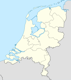
 Gapinge
Coordenadas: Entidad Localidad • País  Países Bajos
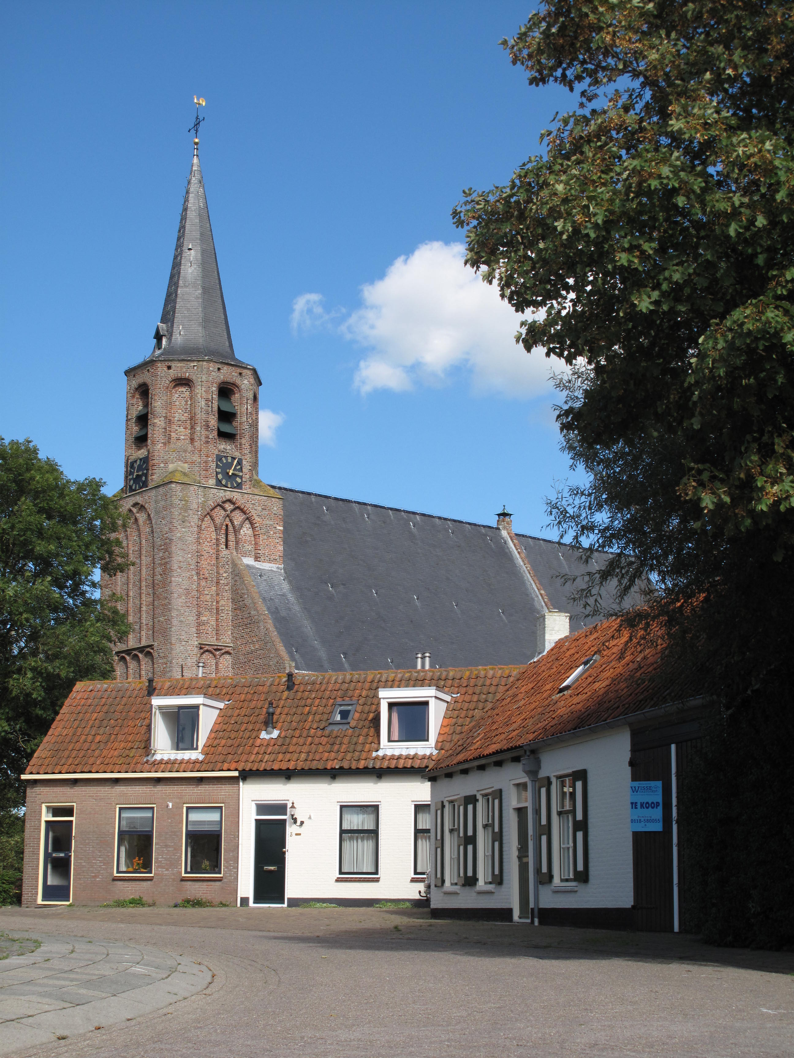
• Provincia Zelanda • Municipio Veere Población (2010) • Total 512 hab. Gapinge es una localidad del municipio de Veere, en la provincia de Zelanda (Países Bajos). Está situada unos 6 km al norte de Middelburg.
Hasta 1857 tuvo municipio propio.[1]
Referencias
- ↑ Ad van der Meer and Onno Boonstra (2006); Repertorium van Nederlandse gemeenten. KNAW.
Categoría:- Localidades de Zelanda


Wikimedia foundation. 2010.