- Ipecaetá
-
Ipecaetá Otros nombres: Patos 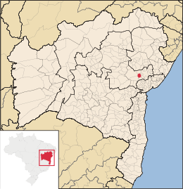
MapaCoordenadas: Coordenadas: Entidad Municipio • País  Brasil
• Estado Bahía • Mesorregión Centro Norte Bahiano • Microrregión Feria de Santana Fundación 19 de julio • Fundación 1962 Superficie • Total 393,904 km²[1] Altitud • Media 189 m msnm Clima caliente Población (IBGE/2010[2] ) • Total 15.334 hab. • Densidad 38,93 hab/km² PIB (nominal) • Total 39.381,589 mil • PIB per cápita 2509.34 IDH (PNUD/2000[3] ) 0.592 Datos mesorregión IBGE/2008[4] Datos microrregión IBGE/2008[4] Región metropolitana Feria de Santana Municipios vecinos Feira de Santana, Santo Estevão, Serra Preta, Rafael Jambeiro, Antonio Cardoso Dist. Cap. 176 km
serrado montañosoSigla clima greenwich Ipecaetá es un municipio brasileño del estado de Bahía. En 2007 su población estimada era de 17.972 habitantes. Posee un área de 395,4 km² y una densidad demográfica de 45,45 hab/km².
Referencias
- ↑ . Resolução da Presidência do IBGE de n° 5 (R.PR-5/02) (10 out. 2002). Consultado el 5 diez. 2010.
- ↑ . Instituto Brasileiro de Geografia e Estatística (IBGE) (29 de noviembre de 2010). Consultado el 11 de diciembre de 2010.
- ↑ «Ranking decreciente del IDH-M de los municipios del Brasil». Programa das Nações Unidas para o Desenvolvimento (PNUD) (2000). Consultado el 11 de octubre de 2008.
- ↑ a b «División Territorial del Brasil». Instituto Brasileiro de Geografia e Estatística (IBGE) (1 de julio de 2008). Consultado el 11 de octubre de 2008.
- Este artículo fue creado a partir de la traducción automática del artículo Ipecaetá de la Wikipedia en portugués, concretamente de esta versión, bajo licencia Creative Commons Atribución Compartir Igual 3.0 y GFDL.
Categoría:- Localidades de Bahía

Wikimedia foundation. 2010.