- Japaraíba
-
Japaraíba 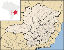
MapaCoordenadas: Coordenadas: Entidad Municipio • País  Brasil
• Estado Minas Gerais • Mesorregión Central Mineira • Microrregión Bom Despacho Fundación 1 de marzo • Fundación 30 de diciembre de 1962 Superficie • Total 172,129 km² Clima Tropical de altitud Población (Censo IBGE/2010[1] ) • Total 3.950 hab. • Densidad 22,95 hab/km² PIB (nominal) • Total 39.075,713 mil • PIB per cápita 10197.21 IDH (PNUD/2000[2] ) 0.753 Datos mesorregión IBGE/2008[3] Datos microrregión IBGE/2008[3] Municipios vecinos Lagoa da Prata, Santo Antônio do Monte, Arcos Japaraíba es un municipio brasileño del estado de Minas Gerais.
Geografía
Su población estimada en 2004 era de 3.554 habitantes.
Referencias
- ↑ . Instituto Brasileiro de Geografia e Estatística (IBGE) (29 de noviembre de 2010). Consultado el 11 de diciembre de 2010.
- ↑ «Ranking decrescente del IDH-M de los municipios del Brasil». Programa das Nações Unidas para o Desenvolvimento (PNUD) (2000). Consultado el 11 de octubre de 2008.
- ↑ a b «División Territorial del Brasil». Instituto Brasileiro de Geografia e Estatística (IBGE) (1 de julio de 2008). Consultado el 11 de octubre de 2008.
- Este artículo fue creado a partir de la traducción automática del artículo Japaraíba de la Wikipedia en portugués, concretamente de esta versión, bajo licencia Creative Commons Atribución Compartir Igual 3.0 y GFDL.
Categoría:- Localidades de Minas Gerais

Wikimedia foundation. 2010.