- Łaskarzew
-
Łaskarzew 
Escudo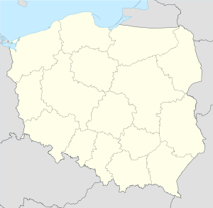
 ŁaskarzewLocalización en el mapa de Polonia
País  Polonia
• Voivodato Mazovia • Powiat Garwolin • Gmina Łaskarzew Ubicación Coordenadas: Superficie 15,35 km² Fundación 1418 Población 4.934 hab. (2008) • Densidad 317 hab./km² Polaco Huso horario Hora central europea (UTC+1)
Horario de verano europeo (UTC+2) en horario de verano.Código postal 08-450Pref. telefónico +48 25Alcalde Waldemar Larkiewicz Łaskarzew es un pueblo de Polonia, en Mazovia.[1] Es la cabecera del distrito (Gmina) de Łaskarzew, perteneciente al condado (Powiat) de Garwolin. Su población es de 4.934 habitantes.
Entre 1975 y 1998 perteneció al voivodato de Siedlce.
Historia
Durante la Invasión de Polonia por los alemanes en 1939, el 17 de septiembre las fuerzas alemanas asesinaron a 54 personas en la ciudad, incluyendo 34 judios y 24 polacos. Algunas de las víctimas eran ancianos de 75 años de edad.[2] El 27 de septiembre de 1942, los alemanes deportaron 1.240 judíos al campo de exterminio de Treblinka.[3]
Referencias
- ↑ «Central Statistical Office (GUS) - TERYT (National Register of Territorial Land Apportionment Journal)» (en polaco) (01-06-2008).
- ↑ Szymon Datner "55 dni Wehrmachtu w Polsce" página 417
- ↑ Table 3 Generalgouvernement and Bialystok General District, Deportations to Treblinka, Arad, pp. 392-395
Categoría:- Localidades de Mazovia


Wikimedia foundation. 2010.