- Weston and Weedon
-
Weston and Weedon Parroquia civil del Reino Unido Ubicación en Northamptonshire.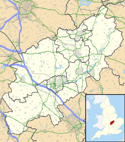
 Weston and Weedon
Coordenadas: Entidad Parroquia civil • País  Reino Unido
• Nación constitutiva Inglaterra • Región Midlands del Este • Condado Northamptonshire • Distrito South Northamptonshire Población (2001) • Total 330 hab. Weston and Weedon es una parroquia civil del distrito de South Northamptonshire, en el condado de Northamptonshire (Inglaterra). Está formada por los pueblos de Weston y Weedon Lois.
Demografía
Según el censo de 2001,[1] Weston and Weedon tenía 330 habitantes (170 varones y 160 mujeres). 63 de ellos (19,09%) eran menores de 16 años, 244 (73,94%) tenían entre 16 y 74, y 23 (6,97%) eran mayores de 74. La media de edad era de 42,55 años. De los 267 habitantes de 16 o más años, 56 (20,97%) estaban solteros, 174 (65,17%) casados, y 37 (13,86%) divorciados o viudos. 162 habitantes eran económicamente activos, 155 de ellos (95,68%) empleados y otros 7 (4,32%) desempleados. Había 3 hogares sin ocupar y 135 con residentes.
Evolución demográfica de Weston and Weedon 1931 1941 1951 1961 328 - 323 294 (Fuente:Vision of Britain ) Referencias
- ↑ «Weston and Weedon» (en inglés). Office for National Statistics. Consultado el 12 de julio de 2011.
Categoría:- Localidades de Northamptonshire

Wikimedia foundation. 2010.