- Wyoming (Rhode Island)
-
Wyoming Área no incorporada de los Estados Unidos Ubicación en el condado de Washington y en el estado de Rhode Island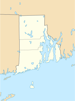
 Wyoming
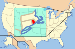
Ubicación de Rhode Island en EE. UU.Coordenadas: Entidad Área no incorporada • País  Estados Unidos
• Estado  Rhode Island
• Condado Washington Huso horario Este: UTC-5 • en verano UTC-4 Código postal 02898 Prefijo telefónico 401 Wyoming es un área no incorporada ubicada en el condado de Washington en el estado estadounidense de Rhode Island. Wyoming es un distrito historico agregado al Registro Nacional de Lugares Históricos el 2 de mayo de 1974.
Geografía
Wyoming se encuentra ubicado en las coordenadas Coordenadas: .[1]
Referencias
- ↑ «U.S. Gazetteer: Censo de 2010» (en inglés). Oficina del Censo de los Estados Unidos (16 de febrero de 2011). Consultado el 11 de julio de 2011.
Enlaces externos
 Portal:Rhode Island. Contenido relacionado con Rhode Island.
 Wikimedia Commons alberga contenido multimedia sobre Wyoming (Rhode Island). Commons
Categorías:- Áreas no incorporadas de Rhode Island
- Localidades del condado de Washington (Rhode Island)
- Distritos históricos de Estados Unidos
- Registro Nacional de Lugares Históricos de Rhode Island


Wikimedia foundation. 2010.