- Long Beach (California)
-
Long Beach Ciudad de los Estados Unidos 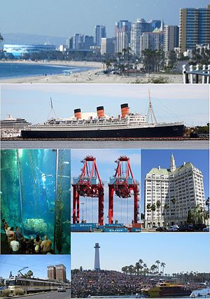

BanderaOtros nombres: LB, the LBC, Iowa by-the-sea Lema: The International City 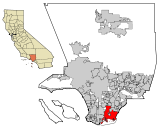
Ubicación en el condado de Los Ángeles y en el estado de California
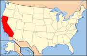
Ubicación de California en EE. UU.Entidad Ciudad • País  Estados Unidos
• Estado  California
• Condado Los Ángeles Alcalde Bob Foster Fundación 23 de diciembre de 1897 Superficie • Total 170,6 km² • Tierra 130,6 km² • Agua (23,42%) 40,0 km² Altitud • Media 0 msnm Población (2010) • Total 462.257 hab. • Densidad 2.709,6 hab/km² Huso horario Pacífico: UTC-8/-7 Código postal 90801-90810, 90813-90815, 90822, 90831-90835, 90840, 90842, 90844-90848, 90853, 90888, 90899 Prefijo telefónico 562, 310 Sitio web oficial  Downtown Long Beach.
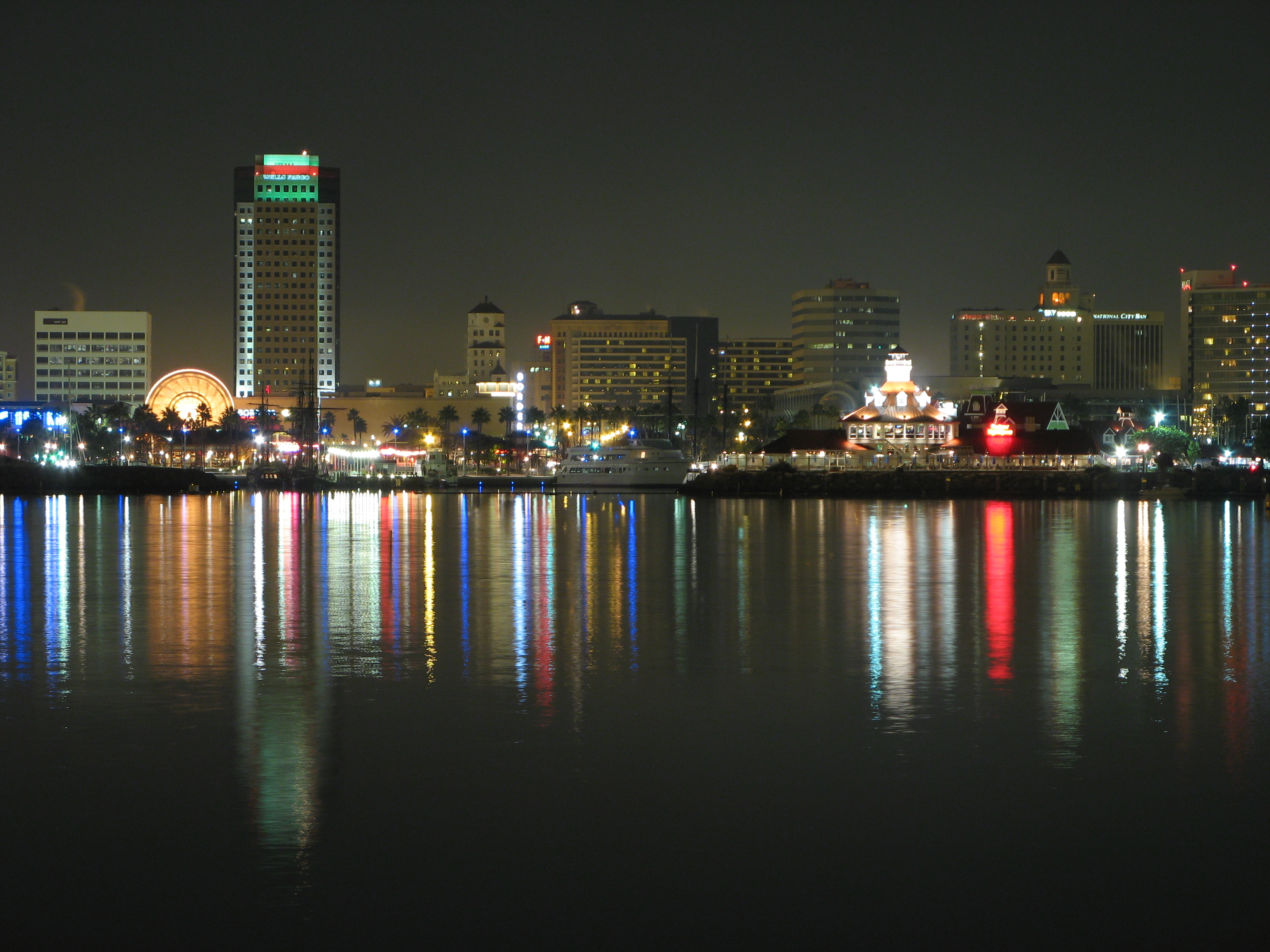
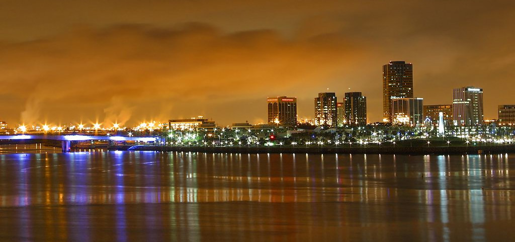
 Downtown Long Beach al anochecer.
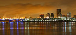
Long Beach, fundada en 1897, es una ciudad del condado de Los Ángeles en el estado estadounidense de California. En el año 2009 tenía una población de 492.682 habitantes y una densidad poblacional de 3,772.45 personas por km². La ciudad es sede de un aeropuerto nacional y el mayor puerto marítimo industrial de la región de Los Ángeles. El circuito callejero de Long Beach es uno de los más reconocidos de su tipo a nivel mundial.
Contenido
Geografía
Long Beach se encuentra ubicada en las coordenadas Coordenadas: . Según la Oficina del Censo, la ciudad tiene un área total de 170,6 km² (65,9 mi²), de la cual 130,6 km² (50,4 mi²) es tierra y 40,0 km² (15,4 mi²) (23.42%) es agua.
La serie de televisión M.D. y la película Freedom Writers están ambientadas en esta ciudad.
Demografía
Según la Oficina del Censo en 2000 los ingresos medios por hogar en la localidad eran de $37,270, y los ingresos medios por familia eran $40,002. Los hombres tenían unos ingresos medios de $36,807 frente a los $31,975 para las mujeres. La renta per cápita para la localidad era de $19,040. Alrededor del 22.8% de la población estaban por debajo del umbral de pobreza.[1]
Barrios y vecindarios
- 4th Street Corridor
- Alamitos Beach
- Alamitos Heights
- Arlington
- Artcraft Manor
- Belmont Heights
- Belmont Park
- Belmont Shore
- Bixby Knolls
- Bixby Village
- Bluff Heights
- Bluff Park
- Broadway Corridor
- California Heights
- Carroll Park
- Central Area
- Craftsman Village
- Downtown Long Beach
- Drake Park
- East Village
- Eastside
- El Dorado Park
- El Dorado Park Estates
- El Dorado South
- Hellman
- Imperial Estates
- Lakewood Village
- Cambodia Town (Little Phnom Penh)
- Long Beach Marina
- Los Altos
- Los Cerritos - Virginia Country Club
- Memorial Heights
- Naples
- North Long Beach
- Park Estates[2]
- Peninsula
- Ranchos
- Rose Park
- Shoreline Village
- South of Conant
- Stearns Park
- Saint Mary's
- Sunrise
- Terminal Island
- Traffic Circle
- University Park Estates
- Washington School
- West Long Beach
- Willmore City
- Wrigley North and South
- Wrigley Heights
- Zaferia
Ciudades hermanas
 Guadalajara (Jalisco, México)
 Valparaíso (Valparaíso, Chile)
 Manta,(Manabí, Ecuador)
Educación
El Distrito Escolar Unificado de Long Beach gestiona escuelas públicas. En algunos partes de Long Beach, el Distrito Escolar Unificado ABC gestiona escuelas públicas.[3]
Notas y referencias
- ↑ «U.S. Gazetteer: Censo de 2010» (en inglés). Oficina del Censo de los Estados Unidos (16 de febrero de 2011). Consultado el 11 de julio de 2011.
- ↑ Canalis, John (Junio 7, 2008). «Park Estates to mark its east end with sign». Long Beach Press-Telegram. http://www.presstelegram.com/news/ci_9518105. Consultado el 08-06-2008.
- ↑ "History/Info." Distrito Escolar Unificado ABC. Consultado el 21 de marzo de 2011.
Enlaces externos
 Portal:Los Ángeles. Contenido relacionado con Los Ángeles.
 Wikimedia Commons alberga contenido multimedia sobre Long Beach (California). Commons
- Ciudad de Long Beach (en inglés)
Categorías:- Long Beach
- Localidades del condado de Los Ángeles
- Ciudades de California


Wikimedia foundation. 2010.